Certificate in Spatial Data Visualisation

14 Feb 2026
-
21 Mar 2026
Apply By
30 Jan 2026
Apply To
IADT
ECTS Points
10 (Level 9)
Places
15
Course Code
DL171
Duration
4 days (Saturdays) on campus
Fees
€1,100


30 Jan 2026
IADT
10 (Level 9)
15
DL171
4 days (Saturdays) on campus
€1,100

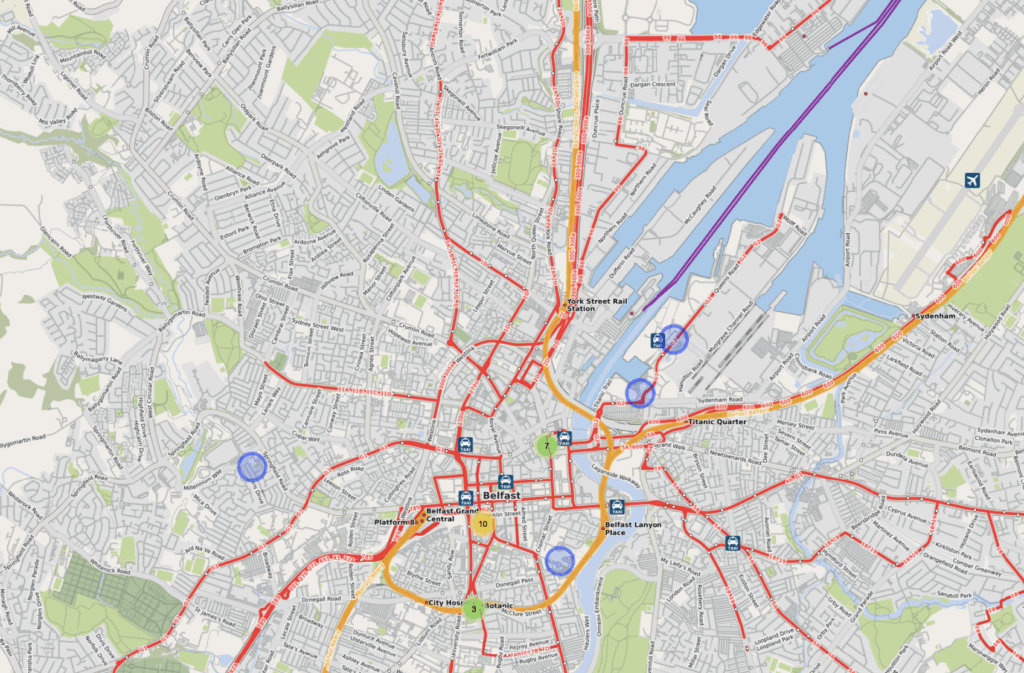
Learn how to process, visualise and analyse spatial data which can lead to the identification of valuable insights and patterns.
Global trends are driving skills needs in spatial techniques explained, to a large extent, by the availability of geocoded data e.g. mobile phones and the availability of user-friendly software applications that can process spatial data.
This course will show you how to understand and apply the core principles of spatial visualisation, by giving you the tools to design, analyse and communicate spatial information in order to provide insights, clarity and meaning.
You will learn to:
On successful completion of the course, you will be able to:
Topics covered:
The software used in this course will be Tableau along with spatial libraries from the open-source environment R.
You will be required to complete a Spatial Visualisation project by collecting, filtering and manipulating a dataset that contains spatial data. You will apply visualisation techniques to produce an interactive dashboard that allows spatial patterns and structures to be identified. A written report will be produced that summarises the findings of the spatial analysis.
There are no written examinations in this course.
Saturdays (10am – 4pm), on-campus in IADT:
An undergraduate qualification of 2nd Class Honours or higher at Honours Degree Level.
Those without this qualification may be considered provided they can demonstrate Honours Degree equivalence, which can be verified through the RPL (recognition of prior learning) process. Typically, RPL candidates should have professional experience of 2-3 years in Data Visualisation, Information Design, or a related field.
Students should have access to a computer with a standard specification.
The application Tableau will be provided to students. No prior experience with Tableau or R will be assumed.
Fees for this course in 2025/2026 are €1,100.
CFA Scholarship
A CFA Scholarship encourages the participation and success of learners from sections of society that are significantly under-represented in higher education by offering a free place in one of our CFA courses and programmes.
Find out if you are eligible to apply HERE
Fill in the CFA@IADT Scholarship application form HERE